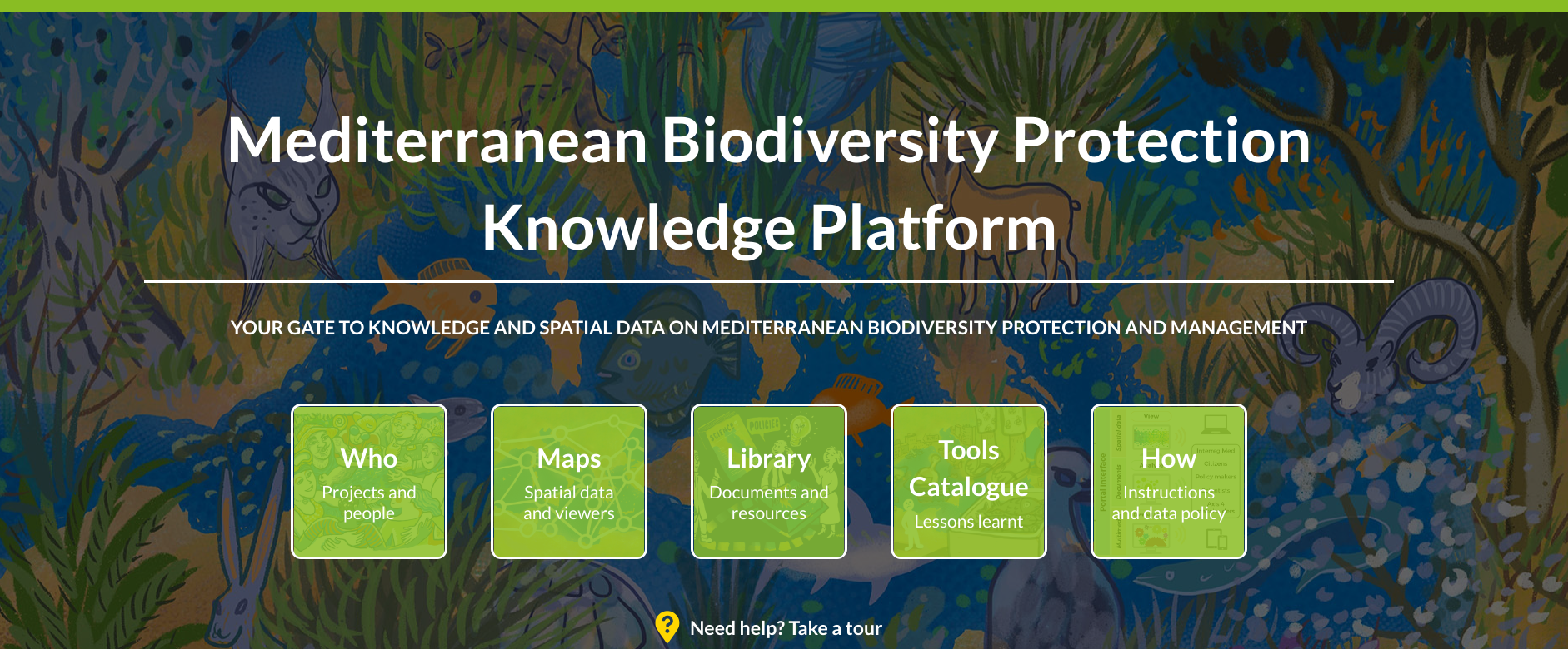
Mediterranean Biodiversity Protection Community
The objective of the Biodiversity Protection Knowledge Platform is to give visibility to effective methodologies, key project results, and actions towards biodiversity protection performed in the context of the Interreg MED funded Biodiversity Protection Community of projects, as well as to Interreg MED projects and partners.
Type of tool
Theme
End-User
Geographical scale
Year
Keywords
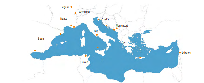
Pilot Areas

What problems would this tool solve?
This platform provides a gateway to the spatial data generated by the Interreg MED Biodiversity Protection Community, and a knowledge reference (enriched with relevant external sources) on protected areas, ecoregions, and pressures to support regional environmental policy on biodiversity protection, natural resource management, and sustainable growth in Mediterranean protected areas and beyond.
What is needed for its implementation?
Technological infrastructure
A PC/tablet, an Internet browser (Firefox and Google Chrome recommended) and an internet connection are required to access the Biodiversity Protection Knowledge Platform.
Training
No particular training is necessary to access and use the Platform, only basic knowledge as an Internet user. Video tutorials and a guidance document for users are included in the platform.
Investment
No costs are associated with accessing and using the Platform.
How to use it?
The Biodiversity Protection Knowledge Platform has a visual interface giving access to the main components:
- A Library, providing access to relevant project results, products, and available documentation; and
- The geoportal (or map viewer), which can be used to display biodiversity spatial data, and which consists of two main elements:
1.A map viewer, where geospatial data can be displayed and individual queries can be performed; and
2.A Catalogue viewer, allowing the user to navigate and discover available geospatial data, through a search engine and filtering tools.
The geoportal allows users to select and combine various data layers, to display and export ad hoc maps, and generate additional knowledge and policy-support. The infrastructure supports the principles of INSPIRE, SEIS, and GEOSS. The Platform uses Metadata standards (such as ISO 19119/115), existing thesauri to choose descriptive keywords (GEMET / INSPIRE / KEEP), and a clear and sound data policy to ensure data ownership and observe OGC web standards (WMS, WFS, WMTS, etc.).
Recommended implementation frequency
The Biodiversity Protection Knowledge Platform is already online at biodiversity.uma.es and can be consulted at any time. Periodic updates will be implemented to integrate relevant external spatial data on biodiversity, update the MedBioLitter database on interactions between biodiversity and litter, and add new materials to the library of resources on project results.
What are the expected results?
Quantitative results
The Platform’s map viewer is developed to spatially represent data and information generated by the projects of the Community. The Platform will work in synergy with MED’s website, with a strong focus on spatial data and on ensuring service interoperability and integration. Relevant, external data sources include T-MEDNET, Med-IAMER, AWI, and VLIZ, among others.
Transfer potential
The Biodiversity Protection Knowledge Platform can be easily accessed by anyone interested in the themes of biodiversity protection and the implementation of an ecosystem approach to the Mediterranean. Further connections may be developed to ensure a wider spatial, temporal, and thematic coverage of the data.
Project contact
- Project contact: PANACeA
- Emanuele Mancosu, ETC-UMA
Further information