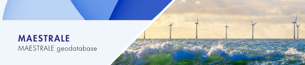
MAESTRALE
The project has been addressing the issue of Marine Renewable Energy for 3 years, involving researchers and experts from 8 Mediterranean countries. Most consistent outcomes have been achieved thanks to 10 Blue Energy Labs, developed as 40 laboratories involving research institutions, public authorities, SMEs and scientific experts. The intensive collaboration in the form of a participatory process all around the Mediterranean area enabled the development of 20 pilot projects, for which feasibility and sustainability assessments demonstrated that Marine Renewable Energy technologies in the Mediterranean can be implemented.
Type of tool
Theme
End-User
Geographical scale
Year
Keywords
Pilot Areas

The tool has already been tested/implemented during the MAESTRALE Blue Energy Labs to show marine energy potentials, plan interventions, and design the MAESTRALE pilot projects.Testing/implementation took place during the Interreg MED Blue Deal project aimed at capitalizing on the MAESTRALE and PELAGOS projects (in Italy, Spain, Croatia, Greece, Slovenia, Cyprus, Portugal, Malta).
What problems would this tool solve?
This tool is an open access data source giving a general overview on renewable marine energy in the Mediterranean Sea (records of blue energy technologies should be periodically added and information updated). It works as a basis for investigating possible implementation of blue energy technologies, especially exploiting:
- Wave energy
- Offshore wind
- Salinity gradients
- Marine heat energy
- Marine currents
What is needed for its implementation?
Technological infrastructure
A PC/Tablet and an internet connection are needed.
Training
No specific training is needed to use this tool.
Investment
No particular investment is needed for this tool.
How to use it?
It is an open access data source giving a general overview on renewable marine energy in the Mediterranean Sea (records of blue energy technologies should be periodically added and information updated).
What are the expected results?
Quantitative
105 stakeholders have registered in the Webgis through the online registration form. A group of 5 Master students has developed their university degree thesis in Landscape Architecture at the University of Florence based on the WebGIS platform.
Increasing number of people accessing the WebGIS platform up to 300 new visualizations per year
Transfer potential
The MAESTRALE geodatabase can be used as a tool for training in the field of blue energy.
- The robustness of the methodology used is recognized, the Datasets have been provided by the Oceanographic Centre of Cyprus
- The tool is ready to be implemented and used
- There is no need to have a social acceptability to implement the tool
- There is no need to have a specific legal or institutional framework/instrument to implement the tool
- There is no need to have a specific capacity or organizational expertise to implement it
- Additional financial resources would allow its future implementation and potential improvement.
Project contact
Simone Bastianoni: bastianoni@unisi.it